
How do you know how a watershed is doing? It’s a really difficult challenge.
These large, complex ecosystems include land, wetlands, and waterways, making it hard to get a complete picture. And caring for them involves so many concerns: wildlife, vegetation, water quality, erosion, the impact of and on people, land use, drainage, etc.
Expanding Their Toolkit
But difficult doesn’t mean impossible.
Staff and volunteers at the Van Cortlandt Park Alliance (VCPA) have been using a variety of methods to monitor their over-1100-acre park’s watershed for years. Analyzing water samples, inventorying plants & wildlife, and taking sediment cores are just some of the methods in place.
Earlier this year they added another tool to their kit—real-time water flow data using sensors and Temboo’s environmental software.
About the Watershed
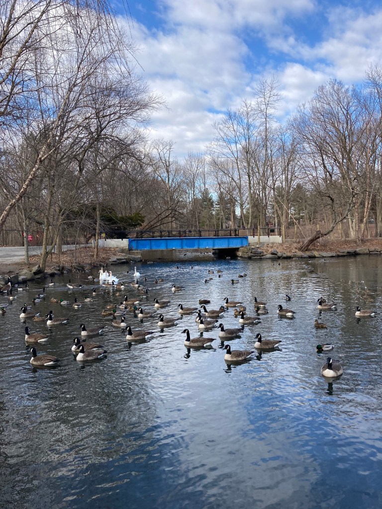
The park occupies land that was originally purchased by Jacobus Van Cortlandt in 1691. His family held that land until 1888 when it was sold to New York City and became a public park. As seen on the map below, Tibbets Brook runs through the center of the park. Originally it continued flowing south into a wetlands that connected to the Harlem River.

By the early 1700s the course of the brook was altered when it was dammed for a sawmill, forming a mill pond. (This is marked on the map as Van Cortlandt Lake, though it has recently been renamed Hester & Piero’s Mill Pond for the enslaved African miller and his wife who operated it early on.)
Later all the water flowing from the pond was redirected into a city sewer, and the wetlands south of it were drained. All of this substantially changed how and where water flows through the local watershed.

Getting Real-Time Flow Data
These manmade interventions in the landscape mean that in general all the water in the park ends up in the mill pond. So learning how much water is flowing into the pond and when can reveal a lot about what’s happening throughout the entire park.

And now it’s possible to know this as it’s happening.
Earlier this year John Butler and Alex Byrne of Van Cortlandt Park Alliance installed flow and depth sensors in one of the culverts the drains into the pond. Then they configured it with Temboo’s no-code software to collect valuable water data in real-time.

With multiple readings taken every hour, the Van Cortlandt Park Alliance can now get a much better picture of how much water is flowing through the watershed and how it changes day to day.

Combining Sample Data
Having worked in the park for years collecting scientific data, Butler and Byrne thankfully weren’t starting from scratch.
For one, they had years of data from water samples taken regularly from the pond and brook upstream. These samples are taken by VCPA staff and volunteers and also lab analyzed by students and researchers at Manhattan College’s Civil & Environmental Engineering Department.
Included in this data is information about the concentration of different chemicals and compounds, like phosphates for example. And combining this data with the real-time environmental sensor data can yield new insights.
Since the sensors analyze both the depth of the water they’re in and rate of flow, they can reveal the total amount of water flowing through the pond and the watershed upstream. So multiplying the total volume of water calculated from the sensors by the concentration of chemicals found in the water samples gives the total amount of whatever substance is flowing through the park.
So combining the sensor and sampling data is really powerful. Even better, VCPA can do this all within Temboo on the same graphs and dashboards because they’ve uploaded their historical sampling data onto the platform.
This is a powerful capability because now all of VCPA’s water data can be found in one place where it’s easy to view, download, and share with others. Moreover, VCPA staff and volunteers can annotate all these data graphs with their own observations, insights, and photos using notes.

Looking Ahead
So what’s next for VCPA?
They will be collecting data from these sensors for at least a year thanks to generous support from the Bronx Council for Environmental Quality. Not only will VCPA get valuable insights and data for their research on the local ecology and watershed, but this information will be useful for the planned efforts to daylight Tibbets Brook—the goal of which is restore that waterway’s original path to the Harlem River instead of it flowing into an underground sewer.

Additional sensors may be added as well to get an even better and more complete picture of what’s happening. Thankfully, that will be easy and straightforward with Temboo since our software is hardware-agnostic and works with many types of open source and/or non-proprietary sensors.
In the meantime, if you’re interested in doing similar work collecting water quality data, please get in touch with me and my colleagues—we’d love to help!

You must be logged in to post a comment.