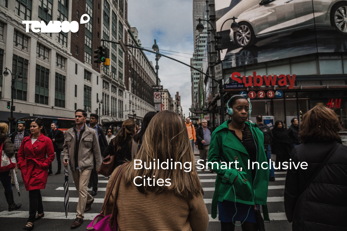
What does it mean to build inclusive smart cities?
At the Smart Cities New York Conference held earlier this month, I heard a variety of answers:
- Dismantle barriers to prosperity created by lack of information
- Serve disabled and able-bodied citizens equally
- Are designed by a community, for a community
Even after the conference, I couldn’t shake the feeling of wanting a solid answer. So I researched more examples of how new technologies are making cities more livable for everyone.
What follows are both horror stories and soaring successes.
I included failures because we can learn important lessons from projects that exacerbate exclusivity. However, with a better understanding of what does promote inclusivity, we can become better creators and users of smart city technologies.
Home is Where the Heart Is…and Robot Overlords

At 24-stories tall, the Atlantic Plaza Towers loom heavily over the streets below. The two towers contain 718 units and thousands of occupants and employ a number of different security measures: a key fob entry system, 24-hour security guards and cameras scattered throughout.
In late 2018, the complex’s owner revealed plans to tighten security: a facial recognition system.
The residents felt a facial recognition system would not only invade their privacy, but also be error-prone. Multiple research studies demonstrate how erroneous facial recognition systems can be, especially for people with darker complexions and women.
Shared public outcry and a lawsuit stalled the plan, for now. Plus last week, New York State Senator Brad Hoylman introduced a bill to make the practice illegal state-wide.
Lesson #1: Before jump starting your project, consider a given technology’s privacy and racial equity concerns. When you meet with your community to get their feedback, have thoughtful responses prepared, and open ears.
Fixing New York City’s Rental Market
The increasing cost of housing across major global cities means we can expect to see more renting.
In fact, Rentcafe found that more people rent when property is expensive, when it’s difficult to get property loans, and when strong rental protections are in place.
For example, the share of renters increased 4.5% in New York City between 2006 and 2016 (Rentcafe).
JustFix.nyc is an interesting example of how to leverage cities’ open data policies to create better outcomes for renters.
New York City’s “Open Data Law” enacted in 2012 mandated that all public data be available in a single data portal. The Department of Housing Preservation & Development’s data set includes information about multiple dwelling registrations and basic landlord information. JustFix.nyc used this data to create Who Owns What, a property ownership mapping tool that makes it easier to spot trends in poor property management.
JustFix.nyc’s also has web and mobile apps where renters build digital paper trails of maintenance issues. This documentation is essential for individual and class-action legal battles against exploitative landlords.

Georges Clement, a co-founder of JustFix.nyc, emphasizes that technology doesn’t solve poverty and the spur of power imbalances it creates. However, having data-powered tools to fight abuse goes a long way.
Lesson #2: While city open data portals are treasure troves of information, they rarely make data actionable. Tools that make these huge databases digestible help undeserved citizens advocate for fair treatment.
How Co-Design Changes Smart City Outcomes
Few smart city projects have generated more buzz in the smart city world than Sidewalk Toronto.
The collaboration between Sidewalk Labs and Waterfront Toronto, a tri-government agency has a grand vision: “By combining people-centered urban design with cutting-edge technology, we can achieve new standards of sustainability, affordability, mobility, and economic opportunity.”
The questions is…how?
I gained some insight when I attended a talk by the Accessibility Lead at Sidewalk Labs, Samara Trilling. Samara shared the first draft of Sidewalk Toronto’s Accessibility Principles.
The accessibility community has driven major contributions to technological innovation. We want to create structures that legitimize, give credit to, and pay the people doing this important work.
Sidewalk Labs
Sidewalk Labs has partnered with the Inclusive Design Research Centre to hold three co-design sessions to date with members of Toronto’s accessibility community.
During co-design sessions, attendees brainstormed answers to big questions, such as “how can we make going through doors, calling elevators, entering and exiting buildings and access controls seamless, especially for people with accessibility needs?”

Sidewalk Labs is already piloting some of the ideas generated during these sessions. For example, they’re working on a beacon-based audio wayfinding system aimed to make it easier for blind and partially sighted people to navigate.
Community feedback also informed important street and building codes. All streets within the new district will be curbless and even. Plus, a to-be-determined percentage of buildings will have fixtures at multiple heights (Sidewalk Toronto). Samara describes these changes as just the beginning of putting the Accessibility Principles into practice.
Lesson #3: Co-design is the smart way to approach smart city projects. A co-design approach lets citizens, the government, and technology providers come to a shared understanding of needs and trade-offs.
When Regulations Make New Technology Fairer
When I last checked the New York City Open Data portal on 5/28/19, only 840 vehicles used by Uber, taxis and other vehicle companies in NYC were wheelchair accessible. That’s less than 1% of the over 119,000 vehicles used by for-hire vehicle companies.
A research study of Uber and Lyft’s wheelchair accessible fleet confirmed the low vehicle count resulted in below-average service. Only 26% of attempts to match with a driver were successful, and wait times ranged from 16-20 minutes (New York Lawyers for Public Interest).
As we begin to imagine cities swarming with autonomous vehicles, will these services be as inequitable as current ones?
At the event Finding My Superpower: Stories from the Disability Community, Edward Friedman from the NYC Office for People Disabilities shared how new regulations will make ride sharing apps fairer.
Uber, Lyft and other ride sharing apps must service 80% of requests for wheelchair accessible vehicles in under 10 minutes, and 90% of requests in under 15 minutes (Politico). Traditional companies must make an increasing number of trips with wheelchair accessible vehicles, starting with 5% in 2019 and peaking at 25% in 2023 (NYC TLC).
Lesson #4: The government passed regulations because ride sharing tech companies refused to make changes fast enough. As smart city technologies proliferate, regulations will remain an important tool to protect the interests of all citizens.
Leveraging Crowdsourced Information to Create Better Experiences for Everyone
I use Google Maps to get around New York City, where I work, and other cities I visit for travel. Google Maps provides all sorts of essential (and non-essential) information about places, from opening hours to the average length of time people typically spend inside.
Since 2017, Google Maps has made a concentrated effort to provide more essential information to people with mobility needs. At the Finding My Superpower event, I met Sasha Blair-Goldensohn, a software engineer on the Google Maps team who is leading this effort.

Google Maps collects wheelchair accessibility information from a number of sources:
- Transit agencies: Agencies supply information about which stations and lines are wheelchair accessible.
- Local Guides: Tens of millions of Google Maps super-users, called Local Guides, answer questions about places’ amenities.
- Internal: Google captures images of transit stations and city landmarks.
Within the first six months of launching the data collection drive, Google Maps offered a more enriched view of over 12 million sites, and that number is growing (Google).
Lesson #5: A technology’s users can also be its creators. By cultivating a strong community of users, you can have a more diverse set of voices on your product development team and support for wide-reaching tasks.
How We Practice Inclusivity at Temboo
Temboo aims to allow more people to build IoT applications. Our no-coding platform means that you no longer need to have software development skills to create smart city applications.
Smart Cities of the future that are built by everyone are certain to be more inclusive. If you need help building your next smart city application, email us at hey@temboo.com.
You must be logged in to post a comment.